**SERIOUS WEATHER IN THE FUTURE** Update 4/24/2017
Hey Everybody how's things going?! It's April, heading into May, this is usually around the time of year that our Severe Weather season really starts to turn up! That's what it look's like is happening this Week, and Weekend. We have 3 chances for Severe Weather coming up this week, ONE of them has me concerned a little bit. It's too early to tell how widespread that particular threat will be, which has me even more concerned, and curious because the parameters look like they are coming together for a potential SEVERE WEATHER OUTBREAK of some type..... First thing's first, gotta crawl before you walk, WEDNESDAY!
Okay, so for our Severe Weather event coming up on Wednesday, it's looking like a typical Spring type setup with the Squall Line developing in East Oklahoma, and moving into West Arkansas.... NOW, with that, there is ALWAYS concerns for ANY storms that develop out ahead of that Front/Squall Line. If a Storm develop out ahead of the Front, and it get organized, THAT'S TROUBLE.... Now as far as the main Line of Storms is concerned, based off of the Forecast Model depiction, it's looking like the line will be somewhat broken as it forms in East Oklahoma, that's a problem because if it's a broken line then those storms will have an opportunity to get organized, and if they do, they can and probably will pose a Tornado Threat at that point. The way it sees to me, the line will move off into West and parts of Central Arkansas as a BROKEN line of Storms, so it will have to be CLOSELY monitored for areas of Organization.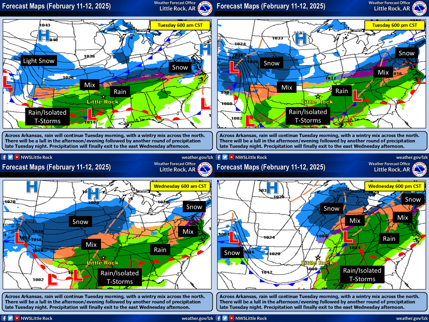
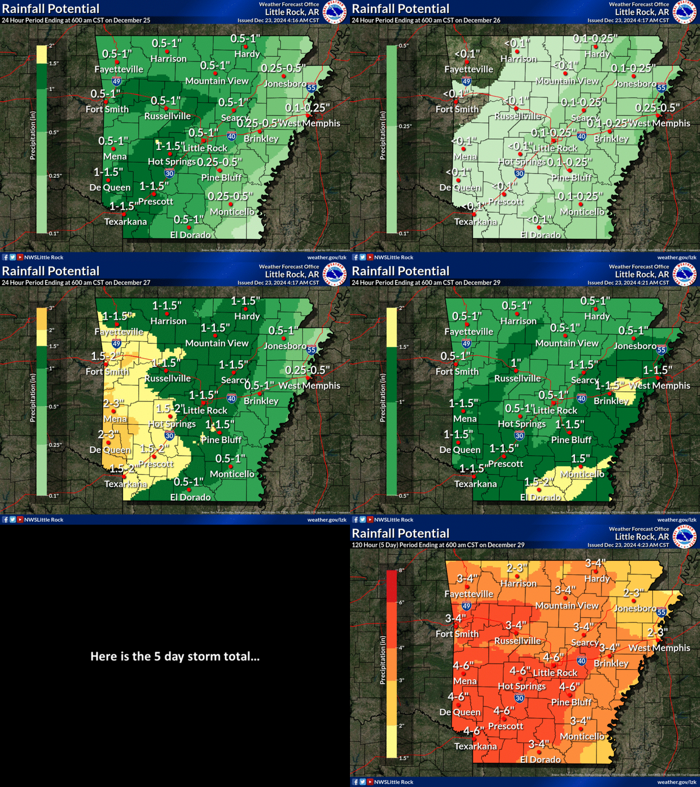
Here's a Day By Day Breakdown of all of the Severe Weather Chances this week. This is again, courtesy of The National Weather Service in North Little Rock, Arkansas. I can definitely Agree with Wednesday! **FRIDAY** Is My Greatest Concern for potentially DEADLY WEATHER, I will continue to watch how that situation develops in the coming days. Saturday is about the same as Wednesday, just lesser of a threat in my opinion. I'm calling for RAIN on Sunday....
Now, I know this is a lengthy Severe Weather Update, but that is a lot to cover, and its NEED TO KNOW INFORMATION, so I couldn't cut any corners with that one. Now if you follow me on Social Media, I haven't been on there much. I haven't deemed the weather serious enough to blow up Facebook, then when the last round came through, I was at work, and left my tablet at home. Couldn't even check the Doppler. But I'm still in the bidness and doing what I do.! Follow me on Social Media, HIT ME UP IF YOU HAVE ANY QUESTIONS.!
Follow Me On Social Media
@Omarrian Wilson - Facebook
@OmarrWilson - Twitter
@The Arkansas Weather Hawk - Google Plus
Okay, so for our Severe Weather event coming up on Wednesday, it's looking like a typical Spring type setup with the Squall Line developing in East Oklahoma, and moving into West Arkansas.... NOW, with that, there is ALWAYS concerns for ANY storms that develop out ahead of that Front/Squall Line. If a Storm develop out ahead of the Front, and it get organized, THAT'S TROUBLE.... Now as far as the main Line of Storms is concerned, based off of the Forecast Model depiction, it's looking like the line will be somewhat broken as it forms in East Oklahoma, that's a problem because if it's a broken line then those storms will have an opportunity to get organized, and if they do, they can and probably will pose a Tornado Threat at that point. The way it sees to me, the line will move off into West and parts of Central Arkansas as a BROKEN line of Storms, so it will have to be CLOSELY monitored for areas of Organization.

Here's an Outlook Forecast Map courtesy of The National Weather Service in North Little Rock, Arkansas. There is a Slight Risk for Severe Weather out for majority of the ENTIRE State. Basically what this means is, We going to have some storms... MY MAIN CONCERNS HERE is DAMAGING WINDS, HAIL, and like I said the threat of Isolated Tornadoes with any storm that can get ORGANIZED......
As Far as TIMING goes on the Wednesday Storms, The line should start to develop in East Oklahoma around Noon on Wednesday. We can see scattered showers throughout the day, but the GOOD STUFF don't start until around 4-5pm for West Arkansas, 6-8pm for Central Arkansas, and 9-Midnight for East Arkansas those are the times to expect that Squall Line to move through your area. I DO EXPECT AN "ENHANCED" Risk to be issued Tomorrow! I DO EXPECT A TORNADO WATCH FOR PARTS OF ARKANSAS ON WEDNESDAY.!
Moving past Wednesday on to Friday! On Friday there will be a front moving across the state that will have more wind energy, more warm air, and more intensity... The way it Looks now, this front will mean Business! The details on this are still sketchy this far out in advance. But from what I've seen from the GFS and CMC models, the CAPE (Amount of instability in the Atmosphere) will be generous, and the Wind Shear (Lift, and twist in the wind) will be generous as well. With those two ominous factors in mind, not to mention thunderstorms, the confidence level for Severe Weather is CERTAIN..... The Confidence Level for Tornadoes is Growing. This is the system I was talking about that has my greatest concern. I will MOST DEF watch how this system develops. There's a chance for redevelopment on Saturday with a different side of the same front moving through Saturday. The Threat for Severe Weather for Saturday is about as great as the Chance for Wednesday, if not a little bit Lesser!

Here's a Day By Day Breakdown of all of the Severe Weather Chances this week. This is again, courtesy of The National Weather Service in North Little Rock, Arkansas. I can definitely Agree with Wednesday! **FRIDAY** Is My Greatest Concern for potentially DEADLY WEATHER, I will continue to watch how that situation develops in the coming days. Saturday is about the same as Wednesday, just lesser of a threat in my opinion. I'm calling for RAIN on Sunday....
Now, I know this is a lengthy Severe Weather Update, but that is a lot to cover, and its NEED TO KNOW INFORMATION, so I couldn't cut any corners with that one. Now if you follow me on Social Media, I haven't been on there much. I haven't deemed the weather serious enough to blow up Facebook, then when the last round came through, I was at work, and left my tablet at home. Couldn't even check the Doppler. But I'm still in the bidness and doing what I do.! Follow me on Social Media, HIT ME UP IF YOU HAVE ANY QUESTIONS.!
Follow Me On Social Media
@Omarrian Wilson - Facebook
@OmarrWilson - Twitter
@The Arkansas Weather Hawk - Google Plus

Comments
Post a Comment