Summer Storms Ends The Drought !!!
Well it's been awhile since I've been here on the blog. Just a typical summer in Arkansas. Just Hot, and More Hot. No air, no rain, just HEAT. But today that will change for some people. There is a Severe Thunderstorm Watch in effect dor parts of North Arkansas, that runs until 8PM. Now I do NOT Think there will be Widespread Severe Weather. The Tornado threat is LOW, The Strong Wind Threat is LOW, Hail is the only thing to worry about honestly. These Storms will be Elevated, and Strong. But barely Severe. So if you find yourself under one of these downpours, they will be quite strong so BEWARE. If there are any issues I will Update and let you guys know. If you have ANY QUESTIONS Please ASK. Don't forget get to Like, Share, and Comment.
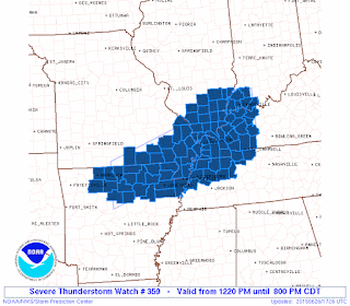

Here's a picture of the Severe Thunderstorm Watch issued in North Arkansas Until 8PM CDT. Severe Thunderstorm Watch means that conditions are favorable for the development of Strong to Severe Storms. Severe Thunderstorm Warnings will be issued this evening. Just keep an eye out.

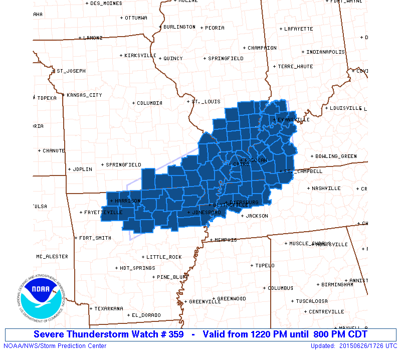
Here's the Slight Risk Area Issued by the Storm Prediction Center in Norman Oklahoma. This slight risk encompasses the entire state, due to the Frontal Boundary moving into the state. There will be possibly the development of a Squall Line that can move from left to right across the state. So there is a Threat for Severe Weather that would come along with that.
Follow ME on Social Media
TheArkansas WeatherHawk - Facebook
@OmarrWilson -Twitter
The Arkansas Weather Hawk- Google Plus
I am The Arkansas Weather Hawk


Comments
Post a Comment