A Temperature "SEE SAW" Forecast? 🤔👀
Heyy Everybody, how are you all this morning! I know it's pretty early, I'm typing this up @04:10am, I will most likely share it @0600. But yess, the title is VERY INDICATIVE of what we have to come! I've gotten SOO many questions from different people regarding what November Looks like! Well, it's going to be warm, and cold, wet, and dry 😂😂 Lol let's break it down.
Okay so as far as rain, you guys pretty much know that as a forecaster, I study 3 main wather models for my forecast, and forcast thoughts. The NAM (North American Model), the GFS (Global Forecasting System), and the CFS (Canadian Forecasting System), sometimes a forth being the EURO (European Weather Model), those are the general 3-4 models I look at, and just study for new adventures. Now I do check others like the RAP (Rapid Refresh Model), and the HRRR (High Resolution Rapid Refresh). But the main 3 have the bigger hidden sins. So the NAM is picking up on scattered showers Friday up North, same for the GFS, the CFS has it more widespread but I doubt it. There's another chance next Tuesday and Wednesday, as well as next weekend....... The chance for Tuesday and Wednesday, the CFS calls for a changeover in North Arkansas. **** DISCLAIMER**** this is ONE model, and ONE run. I do NOT, have any faith in that whatsoever. But it's fun to mention. GFS only calls for rain, NAM doesn't go out that far. CFS&GFS agree on rain next weekend.
Okay so as far as rain, you guys pretty much know that as a forecaster, I study 3 main wather models for my forecast, and forcast thoughts. The NAM (North American Model), the GFS (Global Forecasting System), and the CFS (Canadian Forecasting System), sometimes a forth being the EURO (European Weather Model), those are the general 3-4 models I look at, and just study for new adventures. Now I do check others like the RAP (Rapid Refresh Model), and the HRRR (High Resolution Rapid Refresh). But the main 3 have the bigger hidden sins. So the NAM is picking up on scattered showers Friday up North, same for the GFS, the CFS has it more widespread but I doubt it. There's another chance next Tuesday and Wednesday, as well as next weekend....... The chance for Tuesday and Wednesday, the CFS calls for a changeover in North Arkansas. **** DISCLAIMER**** this is ONE model, and ONE run. I do NOT, have any faith in that whatsoever. But it's fun to mention. GFS only calls for rain, NAM doesn't go out that far. CFS&GFS agree on rain next weekend.

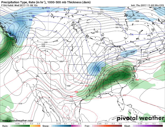
This is that one frame of the Canadian showing snow in far North Arkansas (HIGHLY DOUBT THAT) Just thought it would be fun to entertain 😂😂
Okay now Temperatures, that's the real story here. NAM&GFS Keeps us Warm throughout this weekend through Tuesday. I'm talking Mid 70s today (Thursday November 2nd) into the Low 70s and upper 60s in some spots for Tonight. Same story for Friday, with a chance for hit or miss showers, Low - Mid 70s, and the same for Saturday and Sunday. Very Pleasant weather indeed warm though. See we didn't forget fall, it just came #LATE ! Now, the real cool down don't start until Tuesday night into Wednesday. After a Weekend of 70s by mid week we're tanking into the 50s and upper 40s for daytime highs. Chance for RAIN, on Wednesday, then it warms back up into the mid 60s on Thursday, mid 50s Thursday Night, 60s Friday, possibly low 40s Friday night into next Saturday. So Yeah!!!! I wasn't kidding, typical unorganized, and unofficial Arkansas Weather! As we get closer to Thanksgiving I will make a comprehensive Thanksgiving Weather Forecast, a release date YTD! Thanks for coming here to the Arkansas Weather Hawk's Blog, have a GoodMorning, and enjoy your Thursday Everybody!!!!!!
Follow Me On Social Media
@Omarrian Wilson - Facebook
@OmarrWilson - Twitter
@The Arkansas Weather Hawk - Google+
@thearkansas_weatherhawk - Instagram


Comments
Post a Comment