WINTER WEATHER UPDATE: NOVFREEZE 2018!
Hey everybody, I hope you guys are having a fantastic night so far. Yes, you read the title right! It is the Official "Novfreeze" of 2018. Calm before the freeze! We have a chance at our first freeze of the year, and when I say "FREEZE" that's what I mean. I'm about to go over how cold? What time? And Will there be anything extra? Check me out!
Okay, so as far as the first question, how cold...... The models have been consistent over the past few days for subfreezing air, I was supposed to do this update yesterday, but I started seeing changes, so I decided to wait a little while longer. Good thing that I did, because just 6 runs ago, the GFS (Global Forecasting System) Weather Model was very aggressive with an opportunity for some frozen precips, but we'll get into that in a second. But as far as how cold? Well the models have been very consistent with high 20s in Central Arkansas on Saturday Morning. Mid-Low 20s up North. Check it out.
Okay, so as far as the first question, how cold...... The models have been consistent over the past few days for subfreezing air, I was supposed to do this update yesterday, but I started seeing changes, so I decided to wait a little while longer. Good thing that I did, because just 6 runs ago, the GFS (Global Forecasting System) Weather Model was very aggressive with an opportunity for some frozen precips, but we'll get into that in a second. But as far as how cold? Well the models have been very consistent with high 20s in Central Arkansas on Saturday Morning. Mid-Low 20s up North. Check it out.
This is the 6pm run of the NAM (North American Model) this is valid between the hours of 3 and 6am Saturday Morning. High 20s Central, Mid 20s West, and probably Low 20s North. COLD!!!! NAM has it warming up to the 40s on Saturday during the day. Now, Sunday it's cold but not COLD COLD.
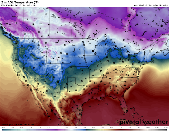
Now the temperatures will be at or near freezing on Saturday, and Sunday Night. But our next COLD COLD snap doesn't arrive until a front moves in on Monday Afternoon, Evening, and Night. This Image is the GFS Weather model, this is valid in between the hours of Midnight Tuesday morning, and 6am Tuesday morning. Same Bat-time, same Bat-channel, High 20s in Central, Mid 20s in West, and Low 20s up North. These are the first Offical Cold Snaps of the season, we've been cold, but not sub-freezing. So these systems are it!
Now in recent runs the GFS has been aggressive with the precipitation, at one point showing frozen stuff in Central Arkansas, that's what caught my attention days ago. But it has backed down on the precips over the past few runs, and now it's showing a chance for frozen precipitation of some type over West Central Arkansas. As it has over the past few runs, this can continue to change. Tomorrow it may not show anything at all. But this is at least a CHANCE at this point and time, with this 1 model, on this 1 run, of something frozen in the state, we'll see!!
So in recap, it will be raining tomorrow morning (Friday Novermeber 9th, 2018) somewhere in the state, should clear tomorrow evening, and turn cold tomorrow night, in which it will remain, until Tuesday. Come Monday, rain comes back to the forecast with chances of frozen precipitation SOMEWHERE in the state by Monday Evening, turning back cold! Temperatures will then rebound for a dry Tuesday.! This is the forecast for now, I will update as this changes, Thanks for coming here to The Arkansas Weather Hawk's Blog, have a great night everybody!
Follow Me On Social Media:
@Omarrian Wilson - Facebook
@OmarrWilson - Twitter
@The Arkansas Weather Hawk - Google Plus
@thearkansas_weatherhawk - Instagram


Comments
Post a Comment